Farm buildings at Bella Farm
Introduction
The photograph on this page of Farm buildings at Bella Farm by Dr Patty McAlpin as part of the Geograph project.
The Geograph project started in 2005 with the aim of publishing, organising and preserving representative images for every square kilometre of Great Britain, Ireland and the Isle of Man.

There are currently over 7.5m images from over 14,400 individuals and you can help contribute to the project by visiting https://www.geograph.org.uk
Farm buildings at Bella Farm
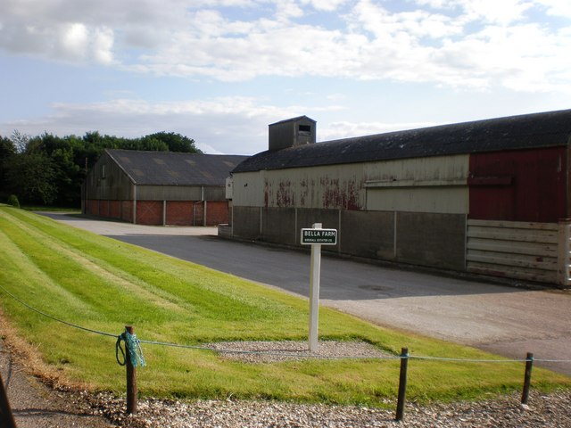
Image: © Dr Patty McAlpin Taken: 4 Jul 2009
Bella Farm is located along a stretch of the minor road from Fimber to Wharram le Street that is coincident with both the Wolds and Centenary Ways.
Images are licensed for reuse under creativecommons.org/licenses/by-sa/2.0
Image Location
Latitude
54.070591
Longitude
-0.676895