Route of Dismantled Railway
Introduction
The photograph on this page of Route of Dismantled Railway by David Anstiss as part of the Geograph project.
The Geograph project started in 2005 with the aim of publishing, organising and preserving representative images for every square kilometre of Great Britain, Ireland and the Isle of Man.

There are currently over 7.5m images from over 14,400 individuals and you can help contribute to the project by visiting https://www.geograph.org.uk
Route of Dismantled Railway
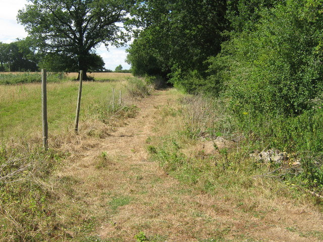
Image: © David Anstiss Taken: 5 Jul 2009
This is the track of a dismantled railway that ran from Tenterden, past Biddenden to Headcorn. It is currently used as a trackway to a stream for fishing.
Images are licensed for reuse under creativecommons.org/licenses/by-sa/2.0
Image Location
Latitude
51.125511
Longitude
0.64335