Rockbeare from the air
Introduction
The photograph on this page of Rockbeare from the air by Derek Harper as part of the Geograph project.
The Geograph project started in 2005 with the aim of publishing, organising and preserving representative images for every square kilometre of Great Britain, Ireland and the Isle of Man.

There are currently over 7.5m images from over 14,400 individuals and you can help contribute to the project by visiting https://www.geograph.org.uk
Rockbeare from the air
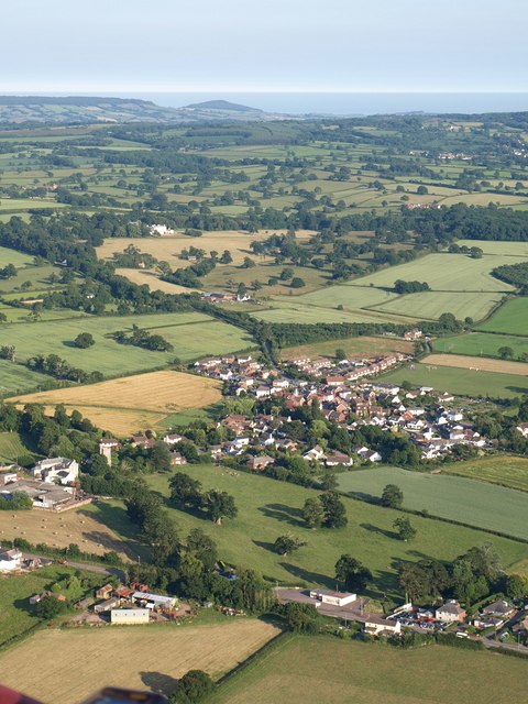
Image: © Derek Harper Taken: 1 Jul 2009
Seen from a hot air balloon above Crannaford. The village falls into four squares. Image is on the left. In the foreground is the eastern part of Jack-in-the-Green. Rockbeare Manor in Image is the white country house in the middle distance. Much further beyond is the coast near Sidmouth.
Images are licensed for reuse under creativecommons.org/licenses/by-sa/2.0
Image Location
Latitude
50.747188
Longitude
-3.39185