Jack-in-the-Green
Introduction
The photograph on this page of Jack-in-the-Green by Derek Harper as part of the Geograph project.
The Geograph project started in 2005 with the aim of publishing, organising and preserving representative images for every square kilometre of Great Britain, Ireland and the Isle of Man.

There are currently over 7.5m images from over 14,400 individuals and you can help contribute to the project by visiting https://www.geograph.org.uk
Jack-in-the-Green
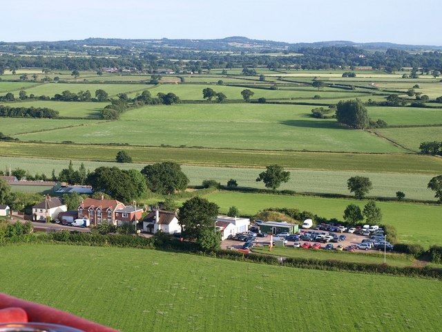
Image: © Derek Harper Taken: 1 Jul 2009
Between the Victorian houses and the garage is the C16 thatched Hillside Cottage http://www.imagesofengland.org.uk/Details/Default.aspx?id=88409&mode=adv . The house on the left appears on the right of Image Behind, the Rockbeare Stream crosses the image on the far edge of the pale grey-green crop. Across the fields are the farms at Southwood in Image Seen from a hot air balloon.
Images are licensed for reuse under creativecommons.org/licenses/by-sa/2.0
Image Location
Latitude
50.748002
Longitude
-3.398962