Matchams: trig point and almost overarching tree
Introduction
The photograph on this page of Matchams: trig point and almost overarching tree by Chris Downer as part of the Geograph project.
The Geograph project started in 2005 with the aim of publishing, organising and preserving representative images for every square kilometre of Great Britain, Ireland and the Isle of Man.

There are currently over 7.5m images from over 14,400 individuals and you can help contribute to the project by visiting https://www.geograph.org.uk
Matchams: trig point and almost overarching tree
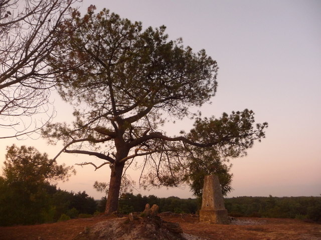
Image: © Chris Downer Taken: 3 Jul 2009
The tree doesn't quite send its foliage over the pillar but it is not far off. We are looking roughly north, just as we approach the summit of the hill.
Images are licensed for reuse under creativecommons.org/licenses/by-sa/2.0
Image Location
Latitude
50.817046
Longitude
-1.819104