Matchams: trig point, tree and roots
Introduction
The photograph on this page of Matchams: trig point, tree and roots by Chris Downer as part of the Geograph project.
The Geograph project started in 2005 with the aim of publishing, organising and preserving representative images for every square kilometre of Great Britain, Ireland and the Isle of Man.

There are currently over 7.5m images from over 14,400 individuals and you can help contribute to the project by visiting https://www.geograph.org.uk
Matchams: trig point, tree and roots
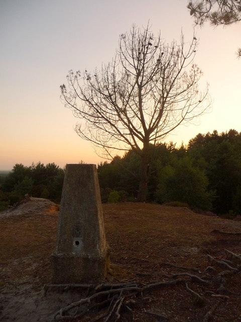
Image: © Chris Downer Taken: 3 Jul 2009
The roots do not belong to the pictured tree! The trig point stands particularly tall, since its foundations are not very deeply buried.
Images are licensed for reuse under creativecommons.org/licenses/by-sa/2.0
Image Location
Latitude
50.816956
Longitude
-1.819104