Matchams: hazy view of Bournemouth skyline
Introduction
The photograph on this page of Matchams: hazy view of Bournemouth skyline by Chris Downer as part of the Geograph project.
The Geograph project started in 2005 with the aim of publishing, organising and preserving representative images for every square kilometre of Great Britain, Ireland and the Isle of Man.

There are currently over 7.5m images from over 14,400 individuals and you can help contribute to the project by visiting https://www.geograph.org.uk
Matchams: hazy view of Bournemouth skyline
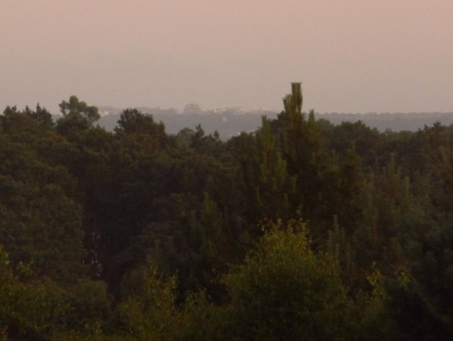
Image: © Chris Downer Taken: 3 Jul 2009
We look roughly south and can just make out the skyline of Bournemouth town centre on the horizon, about 7 miles away. The largest visible building, just left of centre, can be identified as the McCarthy & Stone building, in Image, which is situated alongside the railway station – see Image
Images are licensed for reuse under creativecommons.org/licenses/by-sa/2.0
Image Location
Latitude
50.816956
Longitude
-1.819104