Lane at Holme Pierrepont
Introduction
The photograph on this page of Lane at Holme Pierrepont by Alan Murray-Rust as part of the Geograph project.
The Geograph project started in 2005 with the aim of publishing, organising and preserving representative images for every square kilometre of Great Britain, Ireland and the Isle of Man.

There are currently over 7.5m images from over 14,400 individuals and you can help contribute to the project by visiting https://www.geograph.org.uk
Lane at Holme Pierrepont
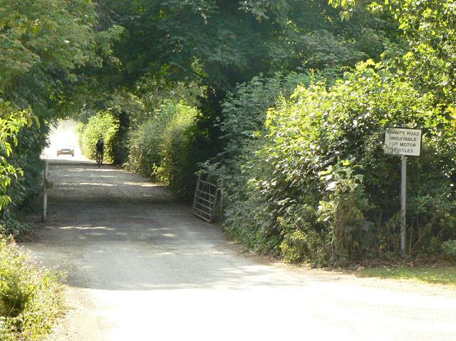
Image: © Alan Murray-Rust Taken: 2 Jul 2009
This is a private road at this point, although it forms part of a marked long distance footpath. Pre-war OS maps show a toll gate at this point which implies that there has always been an expectation of its use for general passage. There certainly doesn't seem to be much restriction on its use, although realistically it doesn't provide a better route than using the main A52.
Images are licensed for reuse under creativecommons.org/licenses/by-sa/2.0
Image Location


Leaflet Map data © OpenStreetMap
Latitude
52.945529
Longitude
-1.066569