Wheat field near Symonds Farm
Introduction
The photograph on this page of Wheat field near Symonds Farm by Bob Jones as part of the Geograph project.
The Geograph project started in 2005 with the aim of publishing, organising and preserving representative images for every square kilometre of Great Britain, Ireland and the Isle of Man.

There are currently over 7.5m images from over 14,400 individuals and you can help contribute to the project by visiting https://www.geograph.org.uk
Wheat field near Symonds Farm
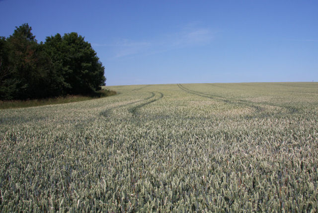
Image: © Bob Jones Taken: 1 Jul 2009
This field in Great Saxham lies close to the A14 and the Ipswich to Cambridge railway line, but both are out of sight, over the top of the hill. The small patch of woodland is unnamed, but borders the minor road between Twites Corner, Great Saxham, and Symonds Farm.
Images are licensed for reuse under creativecommons.org/licenses/by-sa/2.0
Image Location
Latitude
52.254387
Longitude
0.617952