Shalford War Memorial
Introduction
The photograph on this page of Shalford War Memorial by Colin Smith as part of the Geograph project.
The Geograph project started in 2005 with the aim of publishing, organising and preserving representative images for every square kilometre of Great Britain, Ireland and the Isle of Man.

There are currently over 7.5m images from over 14,400 individuals and you can help contribute to the project by visiting https://www.geograph.org.uk
Shalford War Memorial
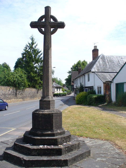
Image: © Colin Smith Taken: 4 Jul 2009
Outside the parish church, on The Street, the usually busy A281 Guildford-Horsham road.
Images are licensed for reuse under creativecommons.org/licenses/by-sa/2.0
Image Location
Latitude
51.220123
Longitude
-0.570633