After the fire, Gooder Lane / Laura Street, Rastrick
Introduction
The photograph on this page of After the fire, Gooder Lane / Laura Street, Rastrick by Humphrey Bolton as part of the Geograph project.
The Geograph project started in 2005 with the aim of publishing, organising and preserving representative images for every square kilometre of Great Britain, Ireland and the Isle of Man.

There are currently over 7.5m images from over 14,400 individuals and you can help contribute to the project by visiting https://www.geograph.org.uk
After the fire, Gooder Lane / Laura Street, Rastrick
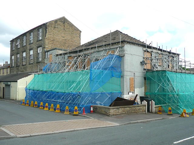
Image: © Humphrey Bolton Taken: 4 Jul 2009
A similar view Image was photographed less than a week ago. Then there was a fire (no connection I am sure!). Repair works (I assume) have started very quickly.
Images are licensed for reuse under creativecommons.org/licenses/by-sa/2.0
Image Location
Latitude
53.696945
Longitude
-1.783383