Old road alignment, Baleave
Introduction
The photograph on this page of Old road alignment, Baleave by Richard Webb as part of the Geograph project.
The Geograph project started in 2005 with the aim of publishing, organising and preserving representative images for every square kilometre of Great Britain, Ireland and the Isle of Man.

There are currently over 7.5m images from over 14,400 individuals and you can help contribute to the project by visiting https://www.geograph.org.uk
Old road alignment, Baleave
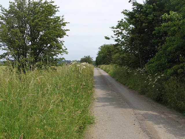
Image: © Richard Webb Taken: 3 Jul 2009
Now a dead end, severed by the M90. The former alignment of the road from Cleish to Kinross.
Images are licensed for reuse under creativecommons.org/licenses/by-sa/2.0
Image Location
Latitude
56.194233
Longitude
-3.429859