The Methodist Church, Tintagel
Introduction
The photograph on this page of The Methodist Church, Tintagel by Humphrey Bolton as part of the Geograph project.
The Geograph project started in 2005 with the aim of publishing, organising and preserving representative images for every square kilometre of Great Britain, Ireland and the Isle of Man.

There are currently over 7.5m images from over 14,400 individuals and you can help contribute to the project by visiting https://www.geograph.org.uk
The Methodist Church, Tintagel
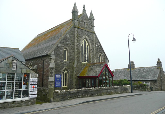
Image: © Humphrey Bolton Taken: 6 May 2009
Most of the village of Tintagel was built in the 19C when tourism started.
Images are licensed for reuse under creativecommons.org/licenses/by-sa/2.0
Image Location
Latitude
50.661876
Longitude
-4.750562