Marjorie Grove
Introduction
The photograph on this page of Marjorie Grove by Colin Smith as part of the Geograph project.
The Geograph project started in 2005 with the aim of publishing, organising and preserving representative images for every square kilometre of Great Britain, Ireland and the Isle of Man.

There are currently over 7.5m images from over 14,400 individuals and you can help contribute to the project by visiting https://www.geograph.org.uk
Marjorie Grove
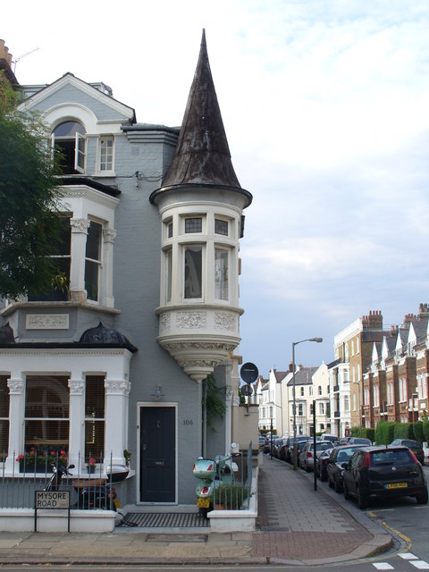
Image: © Colin Smith Taken: 28 Jun 2009
Clapham street of Victorian terraced housing, here with an arresting corner tower.
Images are licensed for reuse under creativecommons.org/licenses/by-sa/2.0
Image Location
Latitude
51.462391
Longitude
-0.158992