Thinfords
Introduction
The photograph on this page of Thinfords by Anne Burgess as part of the Geograph project.
The Geograph project started in 2005 with the aim of publishing, organising and preserving representative images for every square kilometre of Great Britain, Ireland and the Isle of Man.

There are currently over 7.5m images from over 14,400 individuals and you can help contribute to the project by visiting https://www.geograph.org.uk
Thinfords
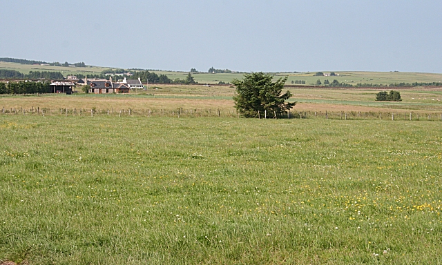
Image: © Anne Burgess Taken: 2 Jul 2009
Thinfords is reached by a rough road past Cowieshall. The farm beyond it is Nether Bogside, on the far side of the burn which drains the flat, low-lying land.
Images are licensed for reuse under creativecommons.org/licenses/by-sa/2.0
Image Location
Latitude
57.607623
Longitude
-2.243643