Turclossie
Introduction
The photograph on this page of Turclossie by Anne Burgess as part of the Geograph project.
The Geograph project started in 2005 with the aim of publishing, organising and preserving representative images for every square kilometre of Great Britain, Ireland and the Isle of Man.

There are currently over 7.5m images from over 14,400 individuals and you can help contribute to the project by visiting https://www.geograph.org.uk
Turclossie
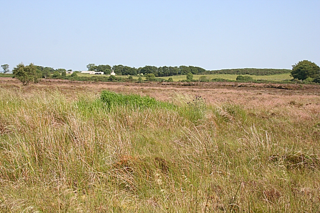
Image: © Anne Burgess Taken: 2 Jul 2009
The farm and buildings at Turclossie stand a few metres above the mossland; for once the higher land is cultivated and the low ground is not.
Images are licensed for reuse under creativecommons.org/licenses/by-sa/2.0
Image Location
Latitude
57.610769
Longitude
-2.190108