Footpaths near Luckington
Introduction
The photograph on this page of Footpaths near Luckington by Maigheach-gheal as part of the Geograph project.
The Geograph project started in 2005 with the aim of publishing, organising and preserving representative images for every square kilometre of Great Britain, Ireland and the Isle of Man.

There are currently over 7.5m images from over 14,400 individuals and you can help contribute to the project by visiting https://www.geograph.org.uk
Footpaths near Luckington
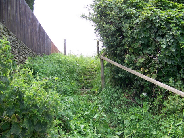
Image: © Maigheach-gheal Taken: 1 Jul 2009
Two footpaths start at these steps, one going to Cherry Orchard Lane and the other to Wick Farm.
Images are licensed for reuse under creativecommons.org/licenses/by-sa/2.0
Image Location
Latitude
51.557977
Longitude
-2.24348