Near Cowieshillock
Introduction
The photograph on this page of Near Cowieshillock by Anne Burgess as part of the Geograph project.
The Geograph project started in 2005 with the aim of publishing, organising and preserving representative images for every square kilometre of Great Britain, Ireland and the Isle of Man.

There are currently over 7.5m images from over 14,400 individuals and you can help contribute to the project by visiting https://www.geograph.org.uk
Near Cowieshillock
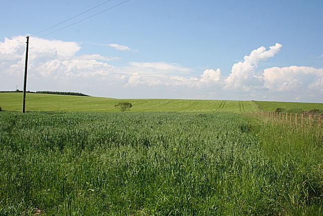
Image: © Anne Burgess Taken: 2 Jul 2009
Looking uphill across a field of oats to a field of barley beyond. Braeside is concealed among the trees just visible on the skyline at left.
Images are licensed for reuse under creativecommons.org/licenses/by-sa/2.0
Image Location
Latitude
57.58375
Longitude
-2.2776