Cowieshillock
Introduction
The photograph on this page of Cowieshillock by Anne Burgess as part of the Geograph project.
The Geograph project started in 2005 with the aim of publishing, organising and preserving representative images for every square kilometre of Great Britain, Ireland and the Isle of Man.

There are currently over 7.5m images from over 14,400 individuals and you can help contribute to the project by visiting https://www.geograph.org.uk
Cowieshillock
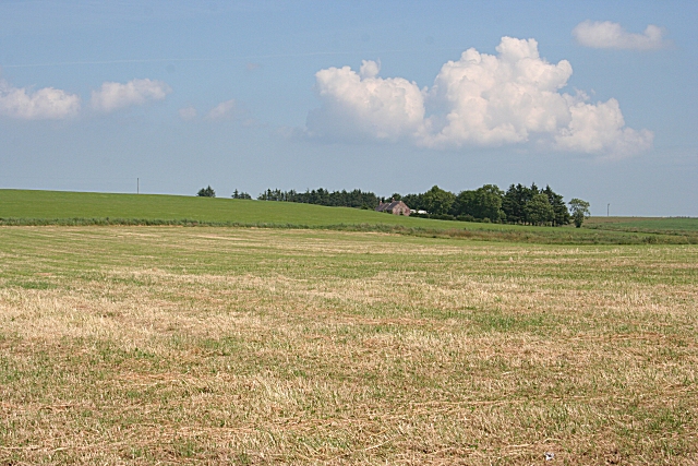
Image: © Anne Burgess Taken: 2 Jul 2009
Cowieshillock farm house is out of sight to the right, and the cottage in this view is unnamed on the maps. The foreground field has been cut for silage or hay.
Images are licensed for reuse under creativecommons.org/licenses/by-sa/2.0
Image Location
Latitude
57.588706
Longitude
-2.270445