Osney Lane
Introduction
The photograph on this page of Osney Lane by Bill Nicholls as part of the Geograph project.
The Geograph project started in 2005 with the aim of publishing, organising and preserving representative images for every square kilometre of Great Britain, Ireland and the Isle of Man.

There are currently over 7.5m images from over 14,400 individuals and you can help contribute to the project by visiting https://www.geograph.org.uk
Osney Lane
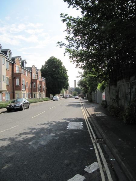
Image: © Bill Nicholls Taken: 30 Jun 2009
I think that is the name of the street. It tends to be used, or was, as a rat run round the traffic lights on Park End Street.
Images are licensed for reuse under creativecommons.org/licenses/by-sa/2.0
Image Location
Latitude
51.750955
Longitude
-1.268123