Wraxall: manor house and outbuildings
Introduction
The photograph on this page of Wraxall: manor house and outbuildings by Chris Downer as part of the Geograph project.
The Geograph project started in 2005 with the aim of publishing, organising and preserving representative images for every square kilometre of Great Britain, Ireland and the Isle of Man.

There are currently over 7.5m images from over 14,400 individuals and you can help contribute to the project by visiting https://www.geograph.org.uk
Wraxall: manor house and outbuildings
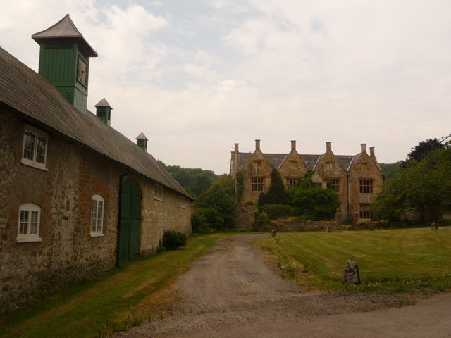
Image: © Chris Downer Taken: 2 Jul 2009
A wider view of Image, taking in the building alongside, a large barn with a clock on top – belonging either to the manor house or to its neighbour, Manor Farm.
Images are licensed for reuse under creativecommons.org/licenses/by-sa/2.0
Image Location
Latitude
50.807822
Longitude
-2.616461