Braeside
Introduction
The photograph on this page of Braeside by Anne Burgess as part of the Geograph project.
The Geograph project started in 2005 with the aim of publishing, organising and preserving representative images for every square kilometre of Great Britain, Ireland and the Isle of Man.

There are currently over 7.5m images from over 14,400 individuals and you can help contribute to the project by visiting https://www.geograph.org.uk
Braeside
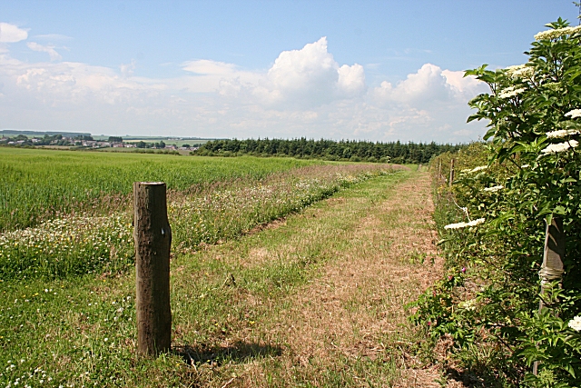
Image: © Anne Burgess Taken: 2 Jul 2009
Braeside is very wildlife-friendly. There are broadleaved trees, ponds and new hedgerows, and this field of barley has a wide strip of grass round the margin for the benefit of wildlife
Images are licensed for reuse under creativecommons.org/licenses/by-sa/2.0
Image Location
Latitude
57.580329
Longitude
-2.280918