Footpath to Irthlingborough
Introduction
The photograph on this page of Footpath to Irthlingborough by Michael Trolove as part of the Geograph project.
The Geograph project started in 2005 with the aim of publishing, organising and preserving representative images for every square kilometre of Great Britain, Ireland and the Isle of Man.

There are currently over 7.5m images from over 14,400 individuals and you can help contribute to the project by visiting https://www.geograph.org.uk
Footpath to Irthlingborough
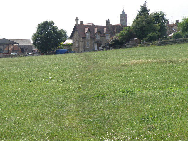
Image: © Michael Trolove Taken: 28 Jun 2009
The Nene Way long distance footpath heading up to a row of terrace houses on Lime Street in Irthlingborough.
Images are licensed for reuse under creativecommons.org/licenses/by-sa/2.0
Image Location
Latitude
52.325802
Longitude
-0.605706