Kishorn Estuary
Introduction
The photograph on this page of Kishorn Estuary by Alastair Seagroatt as part of the Geograph project.
The Geograph project started in 2005 with the aim of publishing, organising and preserving representative images for every square kilometre of Great Britain, Ireland and the Isle of Man.

There are currently over 7.5m images from over 14,400 individuals and you can help contribute to the project by visiting https://www.geograph.org.uk
Kishorn Estuary
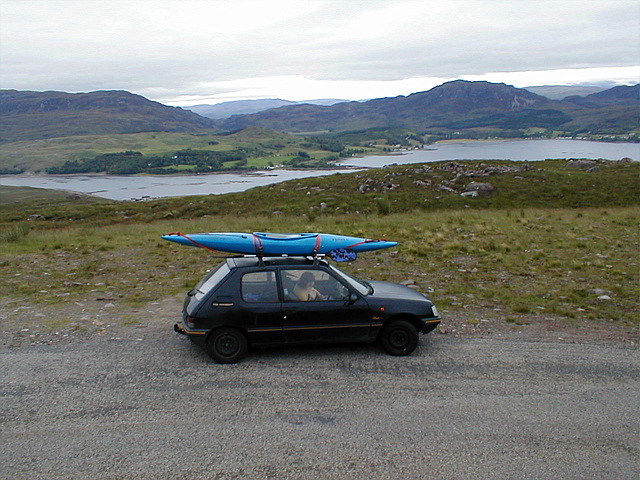
Image: © Alastair Seagroatt Taken: Unknown
Returning from Applecross, looking down over the Kishorn estuary & a bit of the bay. Oil rig construction went on here.
Images are licensed for reuse under creativecommons.org/licenses/by-sa/2.0
Image Location
Latitude
57.403752
Longitude
-5.617219