Eastbury: Westbury Road
Introduction
The photograph on this page of Eastbury: Westbury Road by Nigel Cox as part of the Geograph project.
The Geograph project started in 2005 with the aim of publishing, organising and preserving representative images for every square kilometre of Great Britain, Ireland and the Isle of Man.

There are currently over 7.5m images from over 14,400 individuals and you can help contribute to the project by visiting https://www.geograph.org.uk
Eastbury: Westbury Road
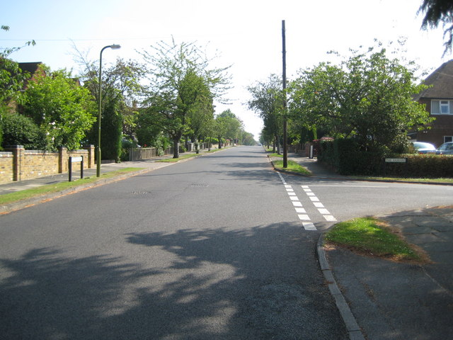
Image: © Nigel Cox Taken: 28 Jun 2009
Yes this is Westbury Road in Eastbury... The Ordnance Survey's 1:50,000 scale mapping shows a series of solid red circles along this road, meaning that it is an "Other route with public access (not normally shown in urban areas)". On the Ordnance Survey's 1:25,000 scale maps the same symbol is used but in solid green. Perhaps the road is historically a private one, but one for which there is a public right of way. There is certainly nothing to differentiate it from any other road. The houses on the left are probably at the very limit of the built-up area of London. On the right is The Fairway.
Images are licensed for reuse under creativecommons.org/licenses/by-sa/2.0
Image Location
Latitude
51.624333
Longitude
-0.423903