Course of former mineral railway, Carnlough, Co. Antrim
Introduction
The photograph on this page of Course of former mineral railway, Carnlough, Co. Antrim by Dr Neil Clifton as part of the Geograph project.
The Geograph project started in 2005 with the aim of publishing, organising and preserving representative images for every square kilometre of Great Britain, Ireland and the Isle of Man.

There are currently over 7.5m images from over 14,400 individuals and you can help contribute to the project by visiting https://www.geograph.org.uk
Course of former mineral railway, Carnlough, Co. Antrim
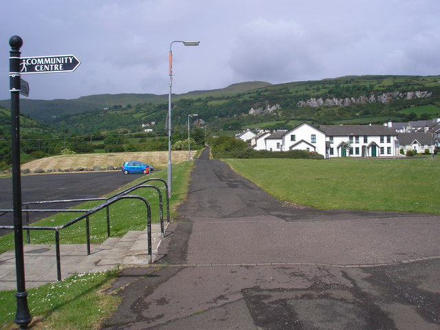
Image: © Dr Neil Clifton Taken: 19 Jun 2009
This shows the course of the railway which was formerly used to convey stone from a quarry some distance away, to the harbour for export. The line was worked mostly by gravity on the counterbalance principle, but a steam locomotive was employed at the harbour end to shunt the wagons.
Images are licensed for reuse under creativecommons.org/licenses/by-sa/2.0
Image Location
Latitude
54.992925
Longitude
-5.994602