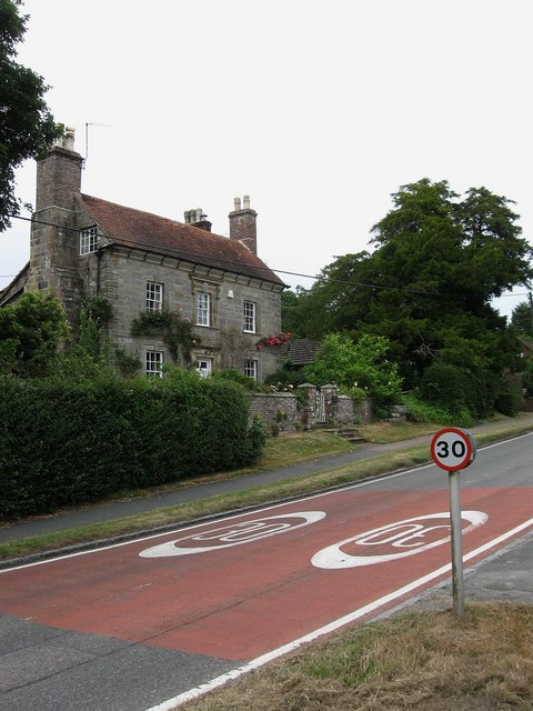
Upper Totease House
Introduction
The photograph on this page of Upper Totease House by Simon Carey as part of the Geograph project.
The Geograph project started in 2005 with the aim of publishing, organising and preserving representative images for every square kilometre of Great Britain, Ireland and the Isle of Man.
There are currently over 7.5m images from over 14,400 individuals and you can help contribute to the project by visiting https://www.geograph.org.uk

Image: © Simon Carey Taken: 28 Jun 2009
On the High Street and dating from Georgian times. When built the village of Buxted was still grouped around St Margarets Church in what is now Buxted Park. However, the residents were forced out in the early 19th century when the then owner Lord Liverpool decided he wanted to extend the park and have a little more isolation. Consequently, the village moved to its current spot on the A272 and was anchored firmly by the arrival of the railway in the 1850s. To the right of the gate the original mounting block for the owners to get on their horses is still in situ.

