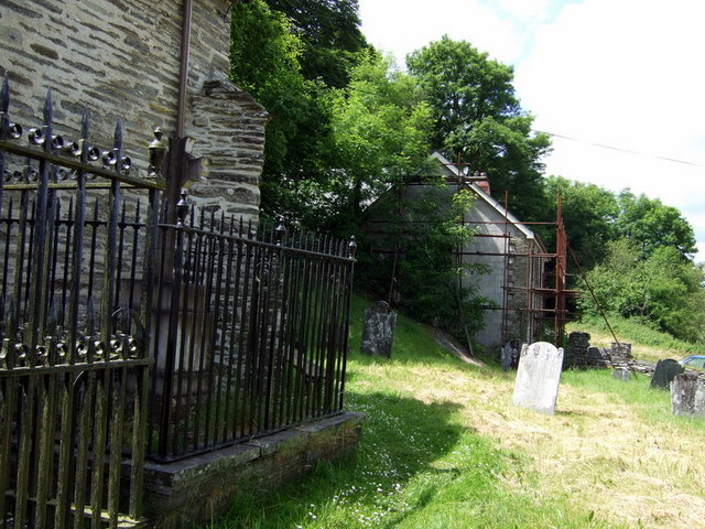
Manordeifi old church, bard's gave and old stable
Introduction
The photograph on this page of Manordeifi old church, bard's gave and old stable by Natasha Ceridwen de Chroustchoff as part of the Geograph project.
The Geograph project started in 2005 with the aim of publishing, organising and preserving representative images for every square kilometre of Great Britain, Ireland and the Isle of Man.
There are currently over 7.5m images from over 14,400 individuals and you can help contribute to the project by visiting https://www.geograph.org.uk

Image: © Natasha Ceridwen de Chroustchoff Taken: 16 Jun 2009
Looking west from the south side of the church the Celtic cross within the railed enclosure, left, marks the grave of John Blackwell (1797-1840) who took the bardic name Alun. Straight ahead, just outside the gate, is a building that once provided stabling for horses belonging to members of the congregation who rode or drove to church. It has been converted into a private house.

