Corner Houses
Introduction
The photograph on this page of Corner Houses by Colin Smith as part of the Geograph project.
The Geograph project started in 2005 with the aim of publishing, organising and preserving representative images for every square kilometre of Great Britain, Ireland and the Isle of Man.

There are currently over 7.5m images from over 14,400 individuals and you can help contribute to the project by visiting https://www.geograph.org.uk
Corner Houses
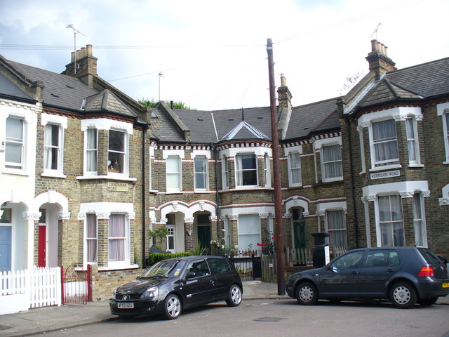
Image: © Colin Smith Taken: 28 Jun 2009
A bend in the attractive terraced housing where Candahar and Kerrison Roads meet. Several of the neighbouring streets have Afghan names - and old spelling variants like Candahar.
Images are licensed for reuse under creativecommons.org/licenses/by-sa/2.0
Image Location
Latitude
51.46883
Longitude
-0.168236