Candahar and Cabul - non-PC Roads
Introduction
The photograph on this page of Candahar and Cabul - non-PC Roads by Colin Smith as part of the Geograph project.
The Geograph project started in 2005 with the aim of publishing, organising and preserving representative images for every square kilometre of Great Britain, Ireland and the Isle of Man.

There are currently over 7.5m images from over 14,400 individuals and you can help contribute to the project by visiting https://www.geograph.org.uk
Candahar and Cabul - non-PC Roads
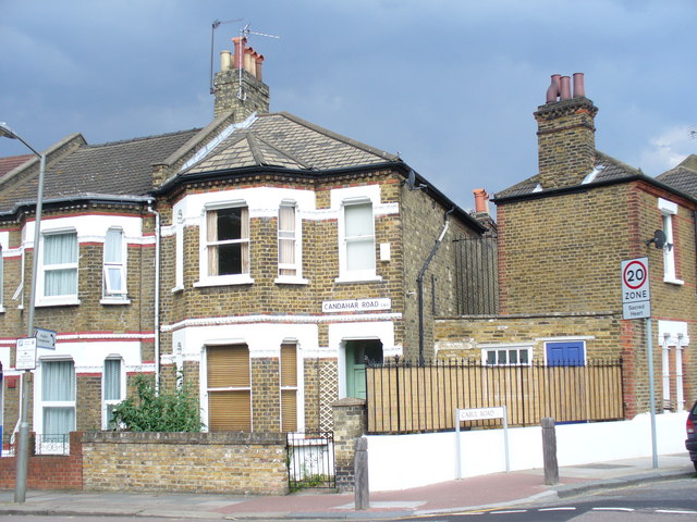
Image: © Colin Smith Taken: 28 Jun 2009
These street names bear Victorian spelling variants. They do not meet today's Permanent Committee on Geographical Names (PCGN) approved spelling. http://www.pcgn.org.uk/
Images are licensed for reuse under creativecommons.org/licenses/by-sa/2.0
Image Location
Latitude
51.470275
Longitude
-0.16861