Bridleway alongside Tyersal Beck, Tong
Introduction
The photograph on this page of Bridleway alongside Tyersal Beck, Tong by Humphrey Bolton as part of the Geograph project.
The Geograph project started in 2005 with the aim of publishing, organising and preserving representative images for every square kilometre of Great Britain, Ireland and the Isle of Man.

There are currently over 7.5m images from over 14,400 individuals and you can help contribute to the project by visiting https://www.geograph.org.uk
Bridleway alongside Tyersal Beck, Tong
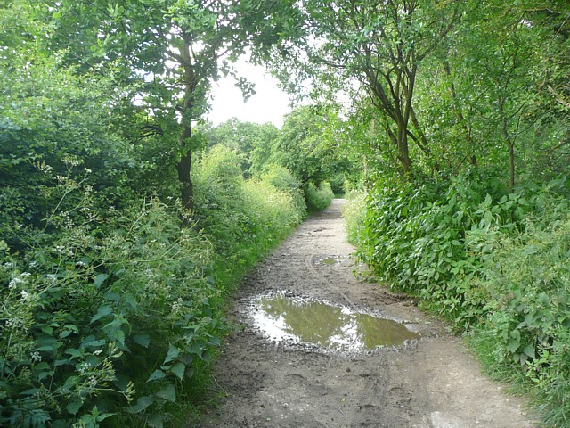
Image: © Humphrey Bolton Taken: 18 Jun 2009
This is a permissive bridleway, and the track was not shown on the six-inch map of the 1930s so must have been specially made, perhaps following an existing hedge, probably the one on the left.
Images are licensed for reuse under creativecommons.org/licenses/by-sa/2.0
Image Location
Latitude
53.782998
Longitude
-1.679741