Garnet Road
Introduction
The photograph on this page of Garnet Road by David Howard as part of the Geograph project.
The Geograph project started in 2005 with the aim of publishing, organising and preserving representative images for every square kilometre of Great Britain, Ireland and the Isle of Man.

There are currently over 7.5m images from over 14,400 individuals and you can help contribute to the project by visiting https://www.geograph.org.uk
Garnet Road
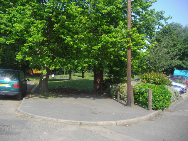
Image: © David Howard Taken: 30 Jun 2009
The end where it splits between the church entrance on the left and the car park for the flats on the right.
Images are licensed for reuse under creativecommons.org/licenses/by-sa/2.0
Image Location
Latitude
51.548416
Longitude
-0.250858