Path north of Kings Sutton
Introduction
The photograph on this page of Path north of Kings Sutton by Graham Horn as part of the Geograph project.
The Geograph project started in 2005 with the aim of publishing, organising and preserving representative images for every square kilometre of Great Britain, Ireland and the Isle of Man.

There are currently over 7.5m images from over 14,400 individuals and you can help contribute to the project by visiting https://www.geograph.org.uk
Path north of Kings Sutton
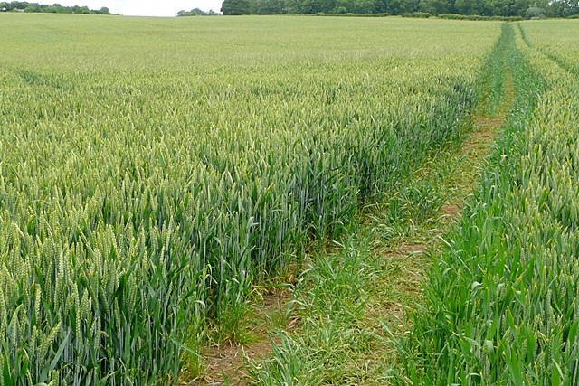
Image: © Graham Horn Taken: 18 Jun 2009
The path through the wheat is clear enough, but not quite in the same location as marked on the map.
Images are licensed for reuse under creativecommons.org/licenses/by-sa/2.0
Image Location
Latitude
52.026649
Longitude
-1.272815