National Grid
Introduction
The photograph on this page of National Grid by Marion Phillips as part of the Geograph project.
The Geograph project started in 2005 with the aim of publishing, organising and preserving representative images for every square kilometre of Great Britain, Ireland and the Isle of Man.

There are currently over 7.5m images from over 14,400 individuals and you can help contribute to the project by visiting https://www.geograph.org.uk
National Grid
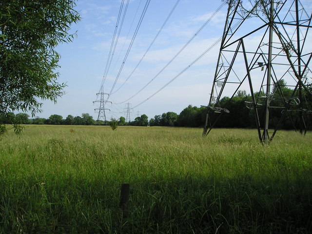
Image: © Marion Phillips Taken: 30 Jun 2009
Power lines over the water meadows owned by the Oxford Preservation Trust. Pylons are a necessary and accepted part of the scenery, but if it were suggested that wind turbines might be erected here, there would be an outcry!
Images are licensed for reuse under creativecommons.org/licenses/by-sa/2.0
Image Location
Latitude
51.716974
Longitude
-1.240734