Corbet Tower
Introduction
The photograph on this page of Corbet Tower by Walter Baxter as part of the Geograph project.
The Geograph project started in 2005 with the aim of publishing, organising and preserving representative images for every square kilometre of Great Britain, Ireland and the Isle of Man.

There are currently over 7.5m images from over 14,400 individuals and you can help contribute to the project by visiting https://www.geograph.org.uk
Corbet Tower
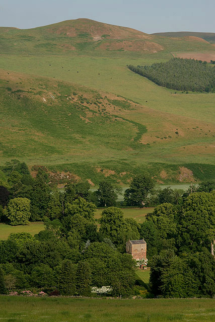
Image: © Walter Baxter Taken: 29 Jun 2009
This small tower stands in a private garden and is not open to the public. Dating back to the 16th century, it was rebuilt by the Ker family after the original building was burnt by the English in 1544. Viewed from Morebattle Hill.
Images are licensed for reuse under creativecommons.org/licenses/by-sa/2.0
Image Location
Latitude
55.508263
Longitude
-2.355108