Standen Mews
Introduction
The photograph on this page of Standen Mews by Simon Carey as part of the Geograph project.
The Geograph project started in 2005 with the aim of publishing, organising and preserving representative images for every square kilometre of Great Britain, Ireland and the Isle of Man.

There are currently over 7.5m images from over 14,400 individuals and you can help contribute to the project by visiting https://www.geograph.org.uk
Standen Mews
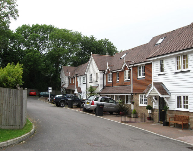
Image: © Simon Carey Taken: 28 Jun 2009
Small modern cul-de-sac located behind the New Inn on the A272 and Hall Lane.
Images are licensed for reuse under creativecommons.org/licenses/by-sa/2.0
Image Location
Latitude
50.996074
Longitude
0.182481