The Arcade, Bedford
Introduction
The photograph on this page of The Arcade, Bedford by Rich Tea as part of the Geograph project.
The Geograph project started in 2005 with the aim of publishing, organising and preserving representative images for every square kilometre of Great Britain, Ireland and the Isle of Man.

There are currently over 7.5m images from over 14,400 individuals and you can help contribute to the project by visiting https://www.geograph.org.uk
The Arcade, Bedford
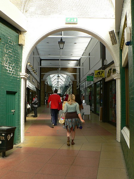
Image: © Rich Tea Taken: 19 Jun 2009
Looking towards the High Street from the Harpur Street end. The Arcade doesn't run straight - the Harpur Street end is at an angle to the rest, and the design suggests it was a later addition, or was perhaps an open passage that was covered over. See also Image]
Images are licensed for reuse under creativecommons.org/licenses/by-sa/2.0
Image Location
Latitude
52.137444
Longitude
-0.46825