William Street
Introduction
The photograph on this page of William Street by Martin Speck as part of the Geograph project.
The Geograph project started in 2005 with the aim of publishing, organising and preserving representative images for every square kilometre of Great Britain, Ireland and the Isle of Man.

There are currently over 7.5m images from over 14,400 individuals and you can help contribute to the project by visiting https://www.geograph.org.uk
William Street
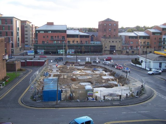
Image: © Martin Speck Taken: 18 Oct 2007
This was once the site of the Jolly Buffer public house. It has since been developed into high density housing with a chip shop below.
Images are licensed for reuse under creativecommons.org/licenses/by-sa/2.0
Image Location
Latitude
53.373244
Longitude
-1.481713