Flush bracket on Settle Bridge
Introduction
The photograph on this page of Flush bracket on Settle Bridge by John S Turner as part of the Geograph project.
The Geograph project started in 2005 with the aim of publishing, organising and preserving representative images for every square kilometre of Great Britain, Ireland and the Isle of Man.

There are currently over 7.5m images from over 14,400 individuals and you can help contribute to the project by visiting https://www.geograph.org.uk
Flush bracket on Settle Bridge
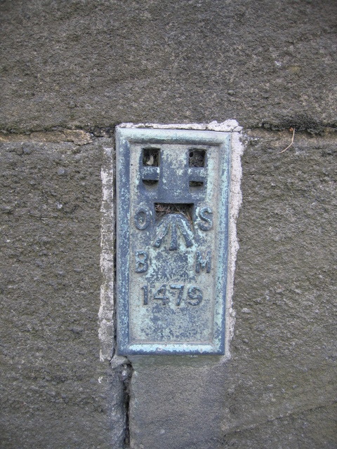
Image: © John S Turner Taken: 6 Aug 2007
Flush bracket 1479 is on the south west parapet of Settle Bridge facing across the road. It was used during the Second Geodetic Levelling, England & Wales 1912-21 and the Third Geodetic Levelling, England & Wales 1950-68. See it in its location Image
Images are licensed for reuse under creativecommons.org/licenses/by-sa/2.0
Image Location
Latitude
54.072321
Longitude
-2.281759