South Town
Introduction
The photograph on this page of South Town by Trevor Rickard as part of the Geograph project.
The Geograph project started in 2005 with the aim of publishing, organising and preserving representative images for every square kilometre of Great Britain, Ireland and the Isle of Man.

There are currently over 7.5m images from over 14,400 individuals and you can help contribute to the project by visiting https://www.geograph.org.uk
South Town
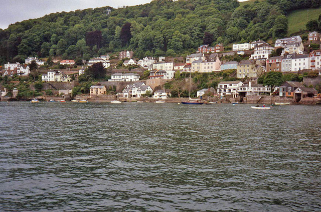
Image: © Trevor Rickard Taken: Unknown
Looking at the west bank where the houses sit on streets along the side of Dyer's Hill between the town centre and Warfleet.
Images are licensed for reuse under creativecommons.org/licenses/by-sa/2.0
Image Location


Leaflet Map data © OpenStreetMap
Latitude
50.346496
Longitude
-3.577575