The Road to Sheffield
Introduction
The photograph on this page of The Road to Sheffield by Gerald England as part of the Geograph project.
The Geograph project started in 2005 with the aim of publishing, organising and preserving representative images for every square kilometre of Great Britain, Ireland and the Isle of Man.

There are currently over 7.5m images from over 14,400 individuals and you can help contribute to the project by visiting https://www.geograph.org.uk
The Road to Sheffield
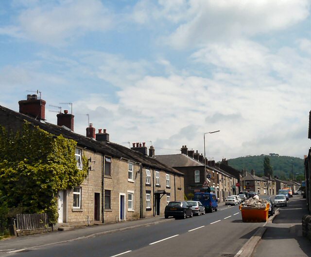
Image: © Gerald England Taken: 28 Jun 2009
The A57 out of Glossop towards the Snake Pass. Past the pub on the corner towards the right of the picture, High Street East changes into Sheffield Road.
Images are licensed for reuse under creativecommons.org/licenses/by-sa/2.0
Image Location
Latitude
53.444553
Longitude
-1.937933