Stoke Hill Farm
Introduction
The photograph on this page of Stoke Hill Farm by Derek Harper as part of the Geograph project.
The Geograph project started in 2005 with the aim of publishing, organising and preserving representative images for every square kilometre of Great Britain, Ireland and the Isle of Man.

There are currently over 7.5m images from over 14,400 individuals and you can help contribute to the project by visiting https://www.geograph.org.uk
Stoke Hill Farm
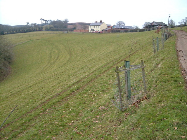
Image: © Derek Harper Taken: 16 Mar 2006
The farmhouse is in a magnificent setting above Stoke Hill Woods and the Exe valley, seen from the west.
Images are licensed for reuse under creativecommons.org/licenses/by-sa/2.0
Image Location
Latitude
50.751888
Longitude
-3.519576