Cutting for the former Neath & Brecon Railway
Introduction
The photograph on this page of Cutting for the former Neath & Brecon Railway by Alan Bowring as part of the Geograph project.
The Geograph project started in 2005 with the aim of publishing, organising and preserving representative images for every square kilometre of Great Britain, Ireland and the Isle of Man.

There are currently over 7.5m images from over 14,400 individuals and you can help contribute to the project by visiting https://www.geograph.org.uk
Cutting for the former Neath & Brecon Railway
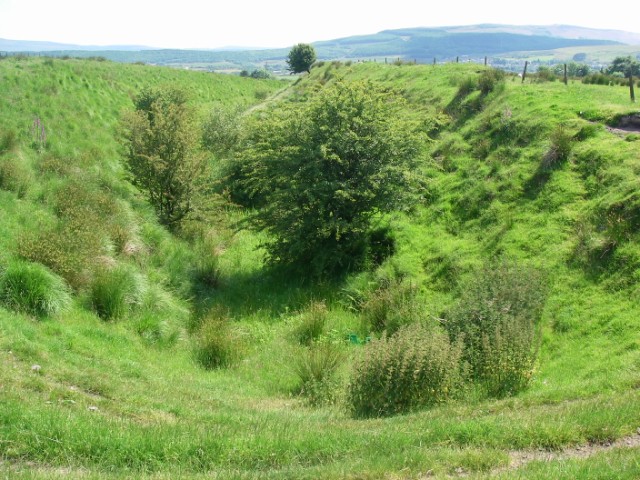
Image: © Alan Bowring Taken: 29 Jun 2009
The route loops right around the village of Coelbren as it maintains height above the upper Swansea Valley and avoids having to bridge the defile of the Nant Llech below Sgwd Henrhyd.
Images are licensed for reuse under creativecommons.org/licenses/by-sa/2.0
Image Location
Latitude
51.792975
Longitude
-3.657423