Alley by side of Stourbridge Community Fire Station
Introduction
The photograph on this page of Alley by side of Stourbridge Community Fire Station by P L Chadwick as part of the Geograph project.
The Geograph project started in 2005 with the aim of publishing, organising and preserving representative images for every square kilometre of Great Britain, Ireland and the Isle of Man.

There are currently over 7.5m images from over 14,400 individuals and you can help contribute to the project by visiting https://www.geograph.org.uk
Alley by side of Stourbridge Community Fire Station
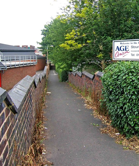
Image: © P L Chadwick Taken: 28 Jun 2009
This alley runs between the side of the fire station, and the back of the Age Concern premises, and leads down to St. John's Road.
Images are licensed for reuse under creativecommons.org/licenses/by-sa/2.0
Image Location
Latitude
52.454677
Longitude
-2.142551