Kirk Hill
Introduction
The photograph on this page of Kirk Hill by Dr Patty McAlpin as part of the Geograph project.
The Geograph project started in 2005 with the aim of publishing, organising and preserving representative images for every square kilometre of Great Britain, Ireland and the Isle of Man.

There are currently over 7.5m images from over 14,400 individuals and you can help contribute to the project by visiting https://www.geograph.org.uk
Kirk Hill
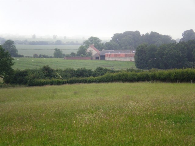
Image: © Dr Patty McAlpin Taken: 27 Jun 2009
View of Kirk Hill, surrounded by mist, from the track leading towards Settrington.
Images are licensed for reuse under creativecommons.org/licenses/by-sa/2.0
Image Location
Latitude
54.116014
Longitude
-0.713084