Bridleway to Stalisfield Green
Introduction
The photograph on this page of Bridleway to Stalisfield Green by David Anstiss as part of the Geograph project.
The Geograph project started in 2005 with the aim of publishing, organising and preserving representative images for every square kilometre of Great Britain, Ireland and the Isle of Man.

There are currently over 7.5m images from over 14,400 individuals and you can help contribute to the project by visiting https://www.geograph.org.uk
Bridleway to Stalisfield Green
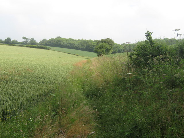
Image: © David Anstiss Taken: 28 Jun 2009
This path leads from Stalisfield Road, through the valley to Bowl Wood (in background), to Thorneycroft Road. It also passes Kenneling Wood and Arkett's Wood.
Images are licensed for reuse under creativecommons.org/licenses/by-sa/2.0
Image Location


Leaflet Map data © OpenStreetMap
Latitude
51.22752
Longitude
0.797308