Earlham Grove Weston Super Mare
Introduction
The photograph on this page of Earlham Grove Weston Super Mare by Ant Basterfield as part of the Geograph project.
The Geograph project started in 2005 with the aim of publishing, organising and preserving representative images for every square kilometre of Great Britain, Ireland and the Isle of Man.

There are currently over 7.5m images from over 14,400 individuals and you can help contribute to the project by visiting https://www.geograph.org.uk
Earlham Grove Weston Super Mare
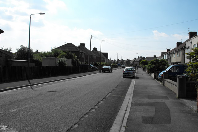
Image: © Ant Basterfield Taken: 23 Jun 2009
Some more of the 1950's former council houses, seen here at the eastern end of Earlham Grove.
Images are licensed for reuse under creativecommons.org/licenses/by-sa/2.0
Image Location
Latitude
51.347977
Longitude
-2.953217