1950's Housing in Weston super Mare
Introduction
The photograph on this page of 1950's Housing in Weston super Mare by Ant Basterfield as part of the Geograph project.
The Geograph project started in 2005 with the aim of publishing, organising and preserving representative images for every square kilometre of Great Britain, Ireland and the Isle of Man.

There are currently over 7.5m images from over 14,400 individuals and you can help contribute to the project by visiting https://www.geograph.org.uk
1950's Housing in Weston super Mare
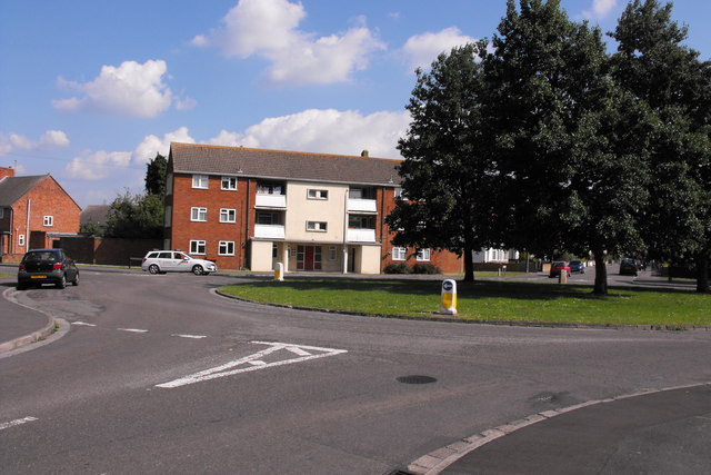
Image: © Ant Basterfield Taken: 23 Jun 2009
These former council properties are nearly all privately owned now and very well kept. these are sited on a roundabout between the Milton and Locking roads
Images are licensed for reuse under creativecommons.org/licenses/by-sa/2.0
Image Location
Latitude
51.348297
Longitude
-2.957962