Tavistock Road, Princetown
Introduction
The photograph on this page of Tavistock Road, Princetown by Tony Atkin as part of the Geograph project.
The Geograph project started in 2005 with the aim of publishing, organising and preserving representative images for every square kilometre of Great Britain, Ireland and the Isle of Man.

There are currently over 7.5m images from over 14,400 individuals and you can help contribute to the project by visiting https://www.geograph.org.uk
Tavistock Road, Princetown
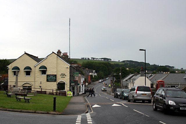
Image: © Tony Atkin Taken: 28 Jun 2009
Looking along the road which leads to the prison. The communications mast on North Hessary Tor is prominent in the distance.
Images are licensed for reuse under creativecommons.org/licenses/by-sa/2.0
Image Location


Leaflet Map data © OpenStreetMap
Latitude
50.545433
Longitude
-3.994095