Sandend village
Introduction
The photograph on this page of Sandend village by Martyn Gorman as part of the Geograph project.
The Geograph project started in 2005 with the aim of publishing, organising and preserving representative images for every square kilometre of Great Britain, Ireland and the Isle of Man.

There are currently over 7.5m images from over 14,400 individuals and you can help contribute to the project by visiting https://www.geograph.org.uk
Sandend village
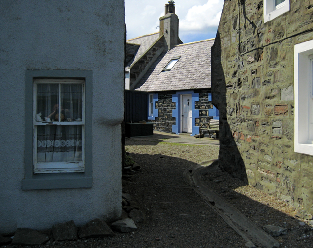
Image: © Martyn Gorman Taken: 27 Jun 2009
Sandend is a small fishing village on the Moray coast. The village has its origins the early 1600s but the present harbour and most of the fisher cottages date back to the early 1800s. Most of the stone cottages lie gable end to the sea, all the better to survive winter storms, and many of them have their details picked out in bright colours.
Images are licensed for reuse under creativecommons.org/licenses/by-sa/2.0
Image Location
Latitude
57.686038
Longitude
-2.748141